
Cooperation for a more resilient Black Sea region
Library Events Contact
A Black Sea coastal city with urban, natural and industrial environments.

Preparing Black Sea communities for cascading natural and technological risks

NAT-RES connects knowledge, institutions and pilot regions to strengthen prevention, preparedness and cooperation around Natech risks.

Discover the project

Latest from NAT-RES

News and field updates

View details →

Learning through place

Pilot regions turn shared methods into local practice

01

Istanbul

Türkiye · Earthquake · Flood · Industrial exposureView details →
02

Komotini

Greece · Flood · Earthquake · Regional infrastructureView details →
03

Mykolaiv

Ukraine · Flood · Critical infrastructure · Compound riskView details →

Shared evidence, visible context

Three pilot regions. One connected view of resilience.

The future map workspace will bring together approved hazard layers, exposure information, project indicators and pilot outputs without hiding their source or limitations.

Open the map explorer →

Live regional view

Earthquakes published in the last 24 hours

10 events · last 24 hours
0–6 hours 6–12 hours 12–24 hours
Sources AFAD NOA EMSC GEOFON USGS

Catalogue data may include preliminary or automatic records. This view is not an operational early-warning or scientific decision tool.

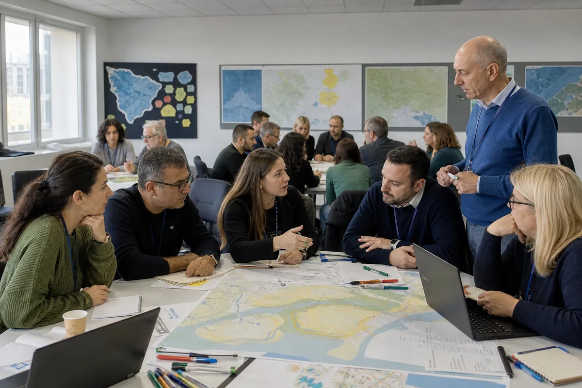
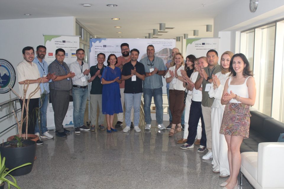
International participants working with hazard maps during a preparedness workshop.

Capacity and learning

From shared knowledge to practical readiness

Explore learning modules, workshop materials, exercise packages and recordings designed for public authorities, practitioners and communities.

Visit the training centre →

A connected regional effort

Programme and Funding

A short guide to NAT-RES within the Interreg NEXT Black Sea Basin Programme and the role of the Central Digital Hub.

View details →
€1,636,586.40
Total budget
€1,472,927.76
EU funding
24
Duration (months)
14.11.2025
Project start
13.11.2027
Project end
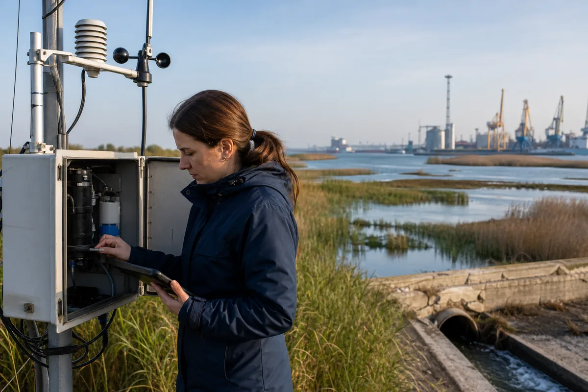
A field scientist checking a coastal environmental monitoring station.

Data with provenance

Every public indicator should tell you where it came from

The portal is designed to present approved information together with its source, date, geographic coverage and review status—so visual clarity never replaces scientific context.

  • Visible source and update date
  • Clear validation and approval status
  • Downloadable metadata where publication is authorised
Learn about the data approach →

Optional categories are off by default. You can change your choice from the footer at any time.